If you’re planning to visit Ushuaia, a few days of hiking in Tierra del Fuego National Park need to be on your itinerary! I mean, this park is about as epic as it gets. You are basically trekking at the end of the world, in the middle of the subantarctic forest, looking out over the Beagle Channel, and the chill in the air is a reminder that the next stop is Antarctica!
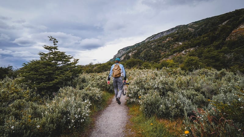
Tierra del Fuego National Park is Argentina‘s southernmost park and it offers trails for hikers of all levels. Whether you’re looking for a light stroll that’s under 1 kilometre, a longer day hike with some elevation gain or a more challenging overnight trek across a mountain pass, this park has something for you.
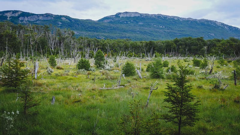
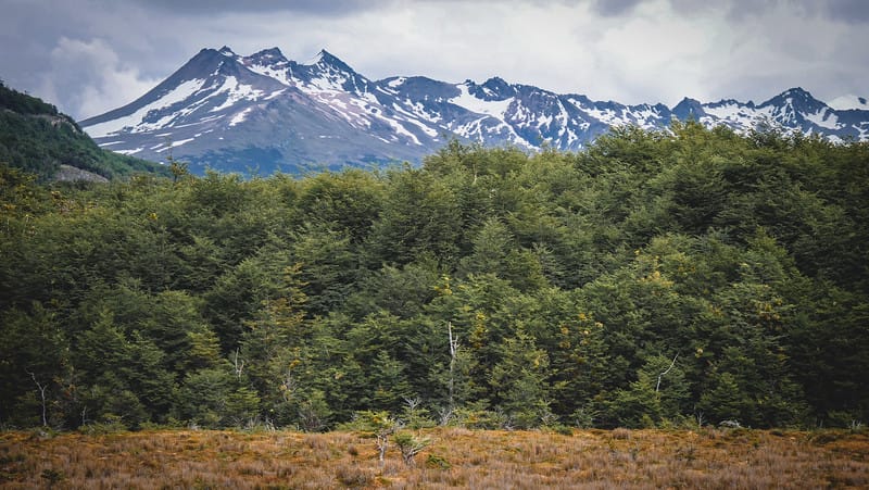
The hiking in Tierra del Fuego National Park is nothing short of spectacular. You’ll be treated to dramatic landscapes featuring snowcapped mountains, forests, lakes, lagoons, peat bogs and pebbly beaches. Not to mention the ever-changing weather; drizzle, fog or shine, the view in front of you is constantly changing. That’s part of the charm of the place – you just never know what you’re going to get hiking at the end of the world!
Your Complete Travel Guide To Hike Tierra del Fuego National Park

This half-day tour to Tierra del Fuego National Park is ideal for those who’d prefer to visit the park with a guide, and it also includes lunch and drinks in a geodome overlooking the water!
Getting to Tierra del Fuego National Park
Tierra del Fuego National Park is located 12 kilometres west of Ushuaia, so getting there is fairly easy and you have a few different options to choose from.
Shuttle
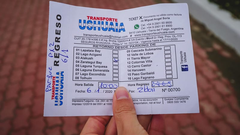
The Ushuaia Bus Terminal is located on the corner of Maipu and Juana Genoveva and it’s where the shuttles to Tierra del Fuego National Park depart from. The bus terminal is currently nothing more than a large parking lot where the buses pull in to pick-up and drop-off passengers, so don’t be alarmed by the lack of a building. Once you get to the bus terminal, you’ll notice a small booth advertising transfers to the national park, as well as other attractions in the outskirts of Ushuaia.

Taxi
Two blocks over from the bus terminal, on the corner of Maipu and Comodoro Augusto Laserre, you’ll find a taxi rank where there’s never a shortage of taxis. It’ll cost a bit more than the shuttle, but you can go anytime and they’ll drive you right to the park entrance.
Entrance fee to Tierra del Fuego National Park
You will have to pay an entrance fee to visit Tierra del Fuego National Park.
The fee for national parks in Argentina varies depending on whether you’re a provincial, national, or international visitor.
The fee for foreigners at the current exchange rate is $8 USD for the day. You can view the list of fees here.
You can pay with cash, debit or credit card (VISA or Mastercard), but it’s best to always have some cash on you in case the system is down.
Tips for hiking in Tierra del Fuego National Park
- The weather in southern Patagonia is very unpredictable and you can experience all 4 seasons in the span of an hour. Bring a waterproof jacket, dress in layers, and wear a good pair of waterproof hiking shoes.
- The best time to hike in Tierra del Fuego is between November and March. This would be late spring to late summer in the southern hemisphere, so you’ll be getting the nicest weather.
- Some sections of the park are only operational from October to April due to snowfall, so if you visit in the off-season, you’ll have to plan your hikes accordingly.
- You will have to register with the park rangers if you are planning to hike some of the longer and more challenging trails (more on that below).
- If you don’t want to carry food around on your day hike, you can plan to eat at the cafeteria in the Alakush Visitor Centre, which is located inside the park.

Long hiking trails in Tierra del Fuego National Park
Senda Pampa Alta
This is the first hiking trail you’ll encounter when you enter the park and it leads you up the mountain for scenic views of the Beagle Channel and Valley of the River Pipo. If you start this trail from Ruta 3 (the dirt road that runs through the park), you’ll be hiking a shorter version of the trail which runs 3.7 kilometres in length. However, if you wish to do the full hiking trail, you’ll want to start from Ensenada Zaratiegui, which is where the port and campsite are located. If you’re taking the shuttle, you would get off at Zaratiegui Bay, which is the first stop in the national park.
- Difficulty: Medium
- Length: 4.9 kilometres one way
- Time: 1 hour to the lookout point
Senda Costera
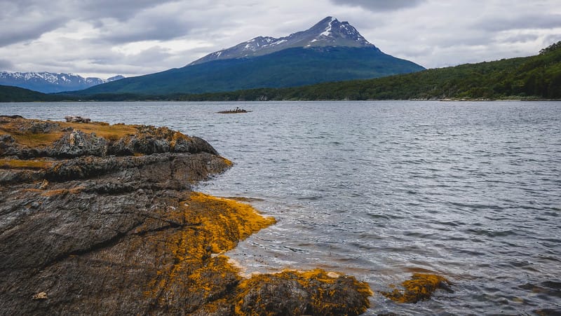
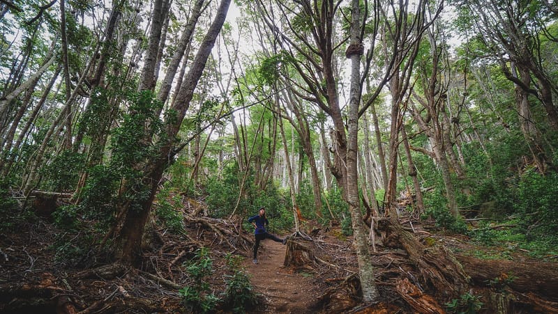
This coastal trail is my favourite hiking spot in Tierra del Fuego National Park. As the name suggests, this particular trail follows the shoreline, and you encounter numerous coves and secret beaches along the way – that means lots of rest stops and picnic spots to choose from. This trail runs from Zaratiegui Bay to Alakush, so you can get dropped off at either starting point and hike in either direction. I did it from Zaratiegui Bay to Alakush since then you have a cafe waiting for you at the very end. This is a fairly flat trail, but you do encounter a bit of elevation once you get closer to Alakush.
- Difficulty: Medium
- Length: 8 kilometres one way
- Time: 3-4 hours
Senda Hito XXIV
This trail starts behind Alakush and it follows the shores of Lake Acigami heading northwest to the border with Chile. It’s an hour and a half each way and you do have to return the same way you came.
- Difficulty: Medium
- Length: 3.5 kilometres one way
- Time: 3 hours
Cerro Guanaco
This is a more challenging hike and you are required to register with the park rangers before you head up the mountain. The first portion of the trail is the same as the previous one that goes to the Argentina-Chile border, but then the Cerro Guanaco trail splits up and you go to the right. It’s a steep trail that’s not recommended on a windy day, but if the sun smiles upon you, the rewards are magnificent vistas of the cordillera.
- Difficulty: High
- Length: 4 kilometres one way
- Time: 8 hours
Laguna del Caminante
This is considered to be another challenging hike and you do have to confirm weather conditions and register before you set out (part but not all of the trail is set within the boundaries of Tierra del Fuego National Park). The trail runs 25 kilometres from Valle de Andorra to Cañadón de la Oveja and due to its difficulty, it requires a certain level of physical fitness and experience on mountainous terrain (trekking poles are strongly recommended). Camping is permitted in the vicinity of the lagoon.
- Difficulty: High
- Length: 25 kilometres one way
- Time: 10 hours
Short day hikes in Tierra del Fuego National Park
The Lapataia Bay sector is home to several short hiking trails, so if you don’t have a lot of time or want to take it easy, this is a good place to start.
You’ll notice I’m not including times for these short trails since many of them link up with each other and there are different ways of combining them. It takes about two hours if you’re looking to do some version of these trails from Lapataia Bay back to Alakush, where the Visitor Centre is located. It’s a bit longer if you detour down some of the side trails, but to give you an idea, it shouldn’t take more than 30 minutes to walk any of these individual trails.
Lapataia Bay is the final shuttle stop in the national park, so if you want to hike here, just stay on the bus until the very end.
Paseo de la Isla – Trail 1
This is a short walk that takes you along the Cormorants’ Archipelago and also along the shores of the Rivers Lapataia and Ovando. It’s a good opportunity to view aquatic birds.
- Difficulty: Low
- Length: 600 metres
Laguna Negra – Trail 2
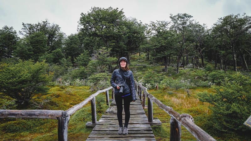
This name translates to Black Lagoon as it’s a peat bog that’s in the process of being formed. Bogland is the deposit of dead plant material – often mosses, and in most cases, sphagnum moss. There are information boards along this trail that explain the process in even greater detail.
- Difficulty: Low
- Length: 950 metres
Mirador Lapataia – Trail 3
This trail leads up to a viewing deck that overlooks Lapataia Bay. It’s a bit of a steep climb, but it’s very short and well worth the effort. The trail can get a bit busy since day tours offer this as a quick hike, but the groups clear out quickly.
- Difficulty: Low
- Length: 1 kilometre
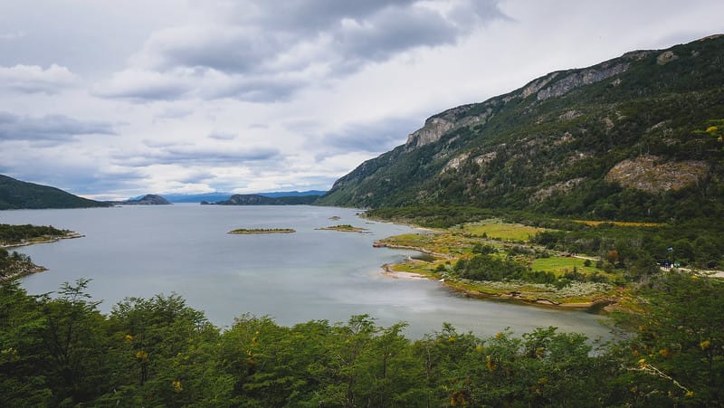
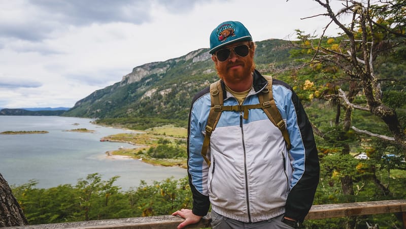
Del Turbal – Trail 4
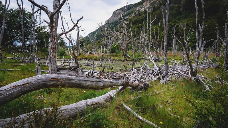
This trail runs through the forest and links up with Mirador Lapataia and Castorera, so they can be easily combined. Turbal means ‘peat bog’ and aside from encountering bogland, you can also see some abandoned beaver lodges.
- Difficulty: Low
- Length: 2 kilometres
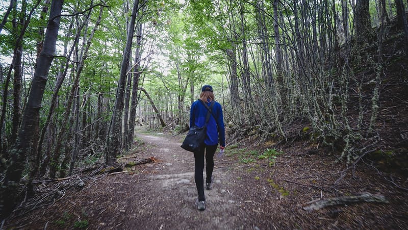
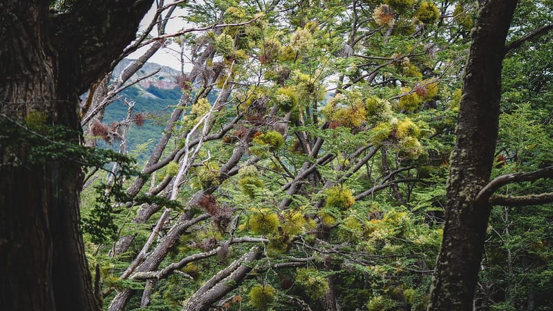
Castorera – Trail 5
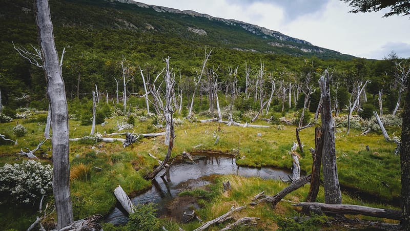
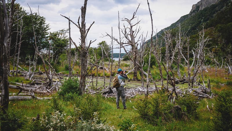
If you want to see beavers in action, this trail is the place to do it! Beavers were brought from Canada to Tierra del Fuego in 1946 with the hopes of kickstarting a fur trade, but that didn’t quite go to plan. It turns out that the beaver had no natural predators, so they reproduced rapidly and put a huge strain on the ecosystem felling trees and flooding forest along the way. In this section of the park, you can see the beavers’ handy work from a high vantage point.
- Difficulty: Low
- Length: 400 meters each way
Senda de la Baliza – Trail 6
This hiking trail is located at the very end of Tierra del Fuego National Park and it runs a kilometre and a half until you reach a restricted part of the nature reserve, which means you have to turn around and hike back the same way you came. Along the way, you get to see an old beaver lodge that is now abandoned, plus there is access to a few pebbly beaches. The start of this trail has a boardwalk that leads you to a viewing point and this portion is wheelchair accessible.
- Difficulty: Low
- Length: 1.5 kilometres each way
Camping in Tierra del Fuego National Park
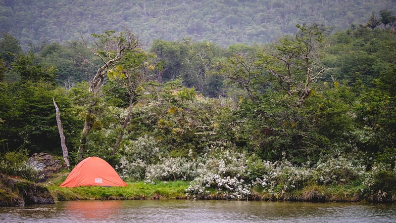
Camping in Tierra del Fuego National Park is allowed and is free of charge. There are campsites at River Pipo, Ensenada, and Laguna Verde with portable toilets on site. There is an additional campsite at Laguna del Caminante on the Andorra-Oveja trek, but this one does not have any toilets.
Other things to do in Tierra del Fuego National Park
Train to the End of the World
Perhaps the most iconic thing to do on your visit to Tierra del Fuego is to ride the Train to the End of the World.
Also known as the Southern Fuegian Railway, this 500 mm gauge steam train was originally built to serve the prison in Ushuaia, which transported inmates to log in these forests, and then brought the timber back into town.
Today, a small section of the original railway runs as a tourist train, and it’s a pretty informative train journey complete with a historical narration via audio headsets as you travel through the forest.
If you don’t have your own vehicle, I would recommend doing the train ride on a separate day from the hiking, so you don’t feel rushed in the park.
Southernmost post office in the world
One thing you cannot miss when trekking in Tierra del Fuego National Park is a visit to the southernmost post office in the world. The tiny post office located at Ensenada Zaratiegui sits 3,070 kilometres from Buenos Aires!
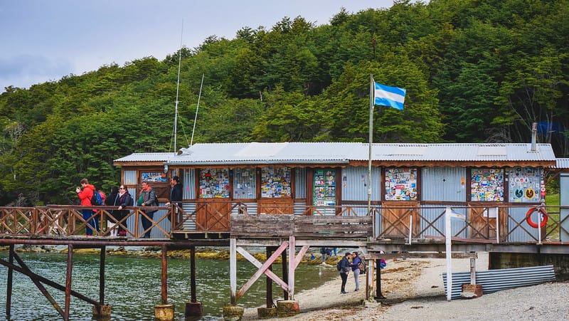
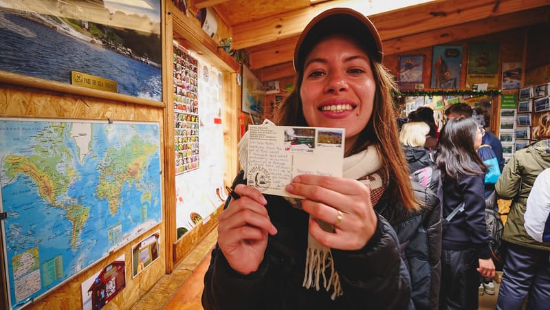
Once upon a time, this post office was a way for wayfaring sailors to send some sign of life home, but today it’s more of a tourist attraction. Visitors from around the world come to get their passport stamped ($3 USD) and send a postcard to loved ones back home.
Just be aware that mail travels slowly in this part of the world. It’ll take about 21 days to arrive,” they told me as I paid for my postage, and sure enough, I beat the postcard back to Canada.
Alakush Visitor Centre
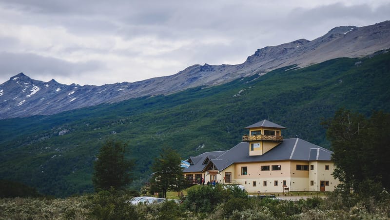
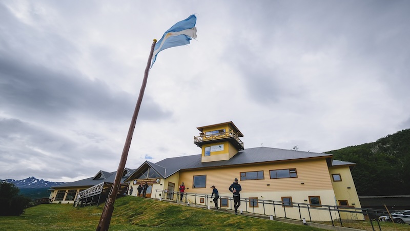
You’ll likely end up at the Alakush Visitors Centre at some point during your hike in Tierra del Fuego National Park since this is where many of the trails start and end.
There’s a large cafeteria where you can get some simple meals – think empanadas, tortilla, milanesas, as well as cakes and medialunas. The cafeteria offers beautiful panoramic views of Río Lapataia and Lago Roca, and it’s a nice place to warm up after a long hike, especially if the weather is not very agreeable.
Tierra del Fuego National Park: Planning Tips, Trail Strategies, Ecology & Culture
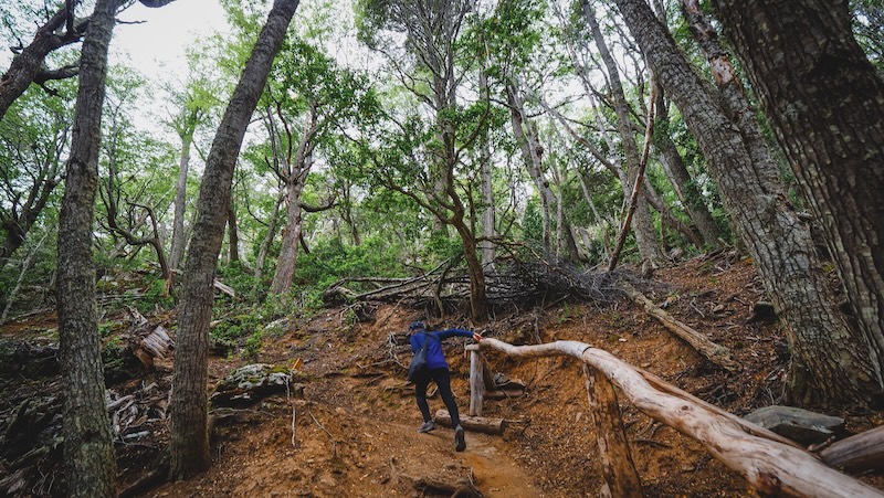
How to Plan the Perfect Hiking Day (or Two!) in Tierra del Fuego National Park
Build Your Hiking Itinerary
How many days do you need?
- If you’re a casual hiker or on a tight schedule, you can see the highlights with a full day in the park, mixing a long trail like Senda Costera with a few shorter loops around Lapataia Bay.
- Passionate trekkers, photographers, and anyone looking to tackle Cerro Guanaco or the multi-day Laguna del Caminante should plan for at least two to four full days in the park, especially to account for unpredictable weather or to spend a night camping in nature.
What to Pack for the “End of the World”
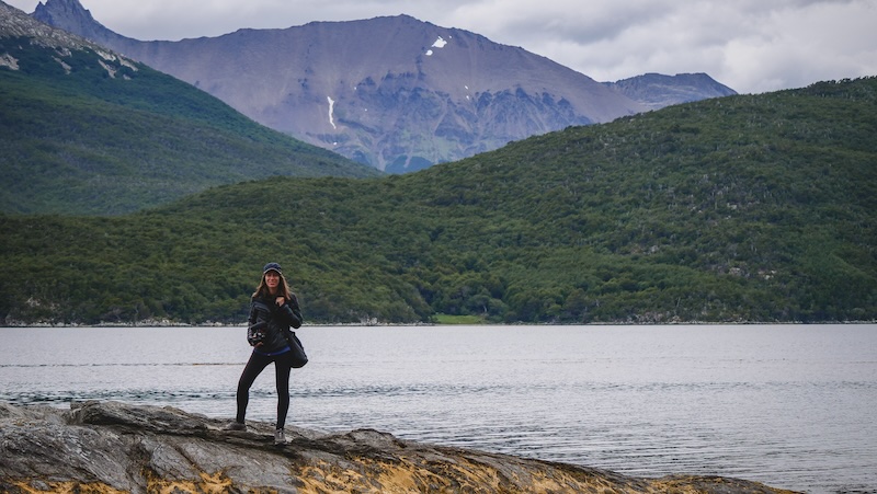
Layers are non-negotiable! The climate here is a wild card. I started my day in a down jacket, stripped down to a t-shirt by noon, then got hit with a quick shower and reached for my raincoat. Essentials include:
- Waterproof jacket + pants (yes, even in summer!)
- Base layers (merino or synthetic—leave cotton at home)
- Gloves and a beanie—windchill is real
- Sturdy waterproof hiking boots (the trails get muddy, especially after rain)
- Sunscreen and sunglasses—Patagonian sun is strong, even on overcast days
- Packed lunch, snacks, and water—cafeteria hours are limited and hiking works up an appetite
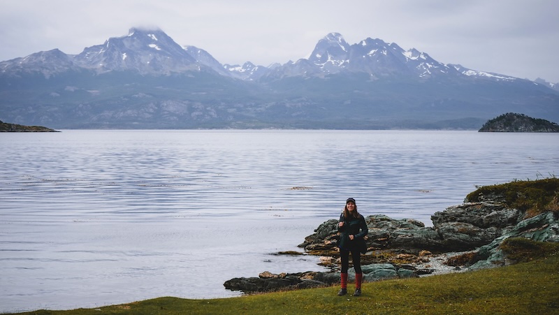
Practical Rapid Fire Info for Hikers
When is the best time to visit?
November to March is peak season, with longer daylight hours and milder temperatures (think 8–20°C), but always expect wind and rain. Outside these months, some trails may close due to snow.
Can you hike solo?
Yes! The most popular trails are safe for solo hikers, but always sign in for longer hikes, let someone know your route, and check weather updates.
Are there guided hikes?
Absolutely. If you’re new to Patagonian terrain or want to learn more about the ecology and history, consider hiring a local guide (many speak English). They’ll help spot wildlife and share stories you’d otherwise miss.
Is wild camping safe?
Yes, in designated campgrounds. Just be mindful of strong winds—bring sturdy stakes! Campfires are not allowed, so bring a portable stove if you want a hot meal.
Sample Hiking Itinerary: Tierra Del Fuego National Park in Argentina
DAY 1 – Coastal Warm-Up & Glacier Views
| Time | What | Why / Pro-Tips |
|---|---|---|
| 08:15 | Shuttle to Zaratiegui Bay | Sit on the right-hand side for early-morning light on the Beagle Channel. Have exact change for the entrance fee so you can zip past the queue. |
| 09:00–12:30 | Senda Costera (Trail 6 km → Alakush) | Gentle undulations, pocket beaches for snack breaks, and a panorama of the Darwin Range that gets better with every headland. We stopped at Playa Verde (roughly km 4) for a thermos-coffee + alfajor break. |
| 12:45 | Alakush Visitor Centre Lunch | Order the lamb empanadas + calafate-berry mousse, then nab a window seat. If it’s busy, there’s a “take-away” kiosk on the lower level selling sandwiches you can eat on the deck. |
| 13:30–14:00 | Exhibits & Bird-Lookout | Quick loop through the small natural-history display; then climb the outside staircase to spy on the steamer-ducks paddling the lagoon. |
| 14:00–16:30 | Hito XXIV Lakeshore Hike (out-and-back 7 km) | A shoreline ramble shaded by lenga forest ending at the Argentina-Chile border marker. If conditions are calm you’ll see glaciers draped over the Cordillera across the lake. |
| 17:00 | Return Shuttle to Ushuaia | We normally ride the 17:00 bus – it’s early enough to shower and still catch sunset on the waterfront. Pick up provisions tonight for tomorrow’s full-day push (baguette, cheese, chocolate, 1–1.5 L water). |
DAY 2 – Steam Train, Beavers & Lapataia Finale
| Time | What | Why / Pro-Tips |
|---|---|---|
| 07:45 | Taxi to Tren del Fin del Mundo Station (8 km from town) | Book the 09:00 departure online – the earlier train beats the cruise-bus crowds. Taxi ~ARS$3,500 / 15 min. |
| 09:00–10:00 | Ride the Southern Fuegian Railway | Headphones deliver trilingual commentary; sit on the left for the tree cemetery and Macarena Falls. |
| 10:05–11:00 | Paseo de la Isla & Laguna Negra mini-loops | Disembark at Parque Nacional station, stamp your ticket, then follow Trail 1 + 2 to stretch the legs before the climb. |
| 11:00–15:00 | Cerro Guanaco Summit Push (4 km up / 4 km down) | Register at the ranger hut; allow 4 h moving time + 1 h summit picnic. Trail is steep, muddy and wind-exposed above treeline—trekking poles and gaiters recommended. If clouds sock in at timberline, turn back and substitute the easier Pampa Alta ridge. |
| 15:15–16:00 | Castorera Beaver Dam Loop | On tired legs the flat 800 m boardwalk feels like luxury. Late afternoon is prime time to spot a beaver hauling branches. |
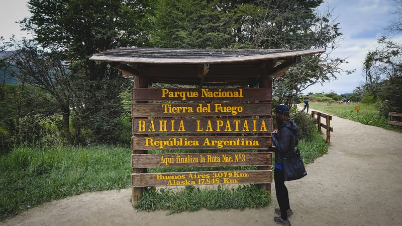
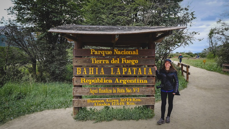
| 16:15 | Mirador Lapataia | Last Kodak-moment: the iconic “Ruta 3 Fin del Mundo” sign, then climb the short staircase for a final bay panorama. |
| 17:00 | Last Shuttle to Ushuaia | Reward yourself with king-crab pizza at Bar Dublin – it tastes even better when your thighs are jelly. |

After the Hike: Local Experiences to Complete Your Ushuaia Adventure
When your legs are toast and your camera roll is full, here’s how to unwind and reflect on your “end of the world” adventure:
- Warm up with a traditional Patagonian lamb dinner—look for “cordero fueguino” in town, roasted over open flames.
- Sip locally brewed craft beer or a glass of Malbec at a cozy Ushuaia bar.
- Visit the Museo del Fin del Mundo to dive deeper into local history, from indigenous culture to Antarctic exploration.
- Get that end-of-the-world passport stamp (yes, really!)—besides the post office in the park, there’s a special one at Ushuaia’s tourist office.
Hiking Tierra del Fuego National Park (Ushuaia) — 12-Question FAQ
When is the best season to hike in Tierra del Fuego National Park?
November–March (late spring to late summer) brings longer days and milder temps, but always expect four seasons in a day—wind, drizzle, sun, repeat. Outside these months, snow can close sections and shorten shuttle schedules.
What’s the easiest way to get from Ushuaia to the park?
Two simple options: the frequent shuttle from the Ushuaia Bus Terminal (Maipú & Juana Genoveva) with drop-offs at key trailheads, or a taxi from the stand at Maipú & Comodoro Augusto Lasserre that takes you straight to the entrance.
How much is the entrance fee and how do I pay?
Fees vary by residency; international visitors are about US$8 for a day pass. Cards (Visa/Mastercard) are usually accepted, but bring cash in case the system is down. You’ll pay at the park gate.
Do I need a guide, or can I hike independently?
Independent hiking is easy on signed routes like Senda Costera, Paseo de la Isla, and Laguna Negra. Consider a guide for context, wildlife spotting, or if you’re new to Patagonian terrain. Some tougher routes require ranger check-in.
Which beginner-friendly short walks should I start with?
Base yourself around Lapataia Bay and link these:
- Paseo de la Isla (600 m) for birdlife along rivers and archipelago
- Laguna Negra (950 m) for peat-bog ecology
- Mirador Lapataia (1 km) for the classic bay overlook
They interconnect, making a perfect 1.5–2 h sampler.
What’s the best half-day hike for views and variety?
Senda Costera (8 km one-way) from Zaratiegui Bay → Alakush: coves, pocket beaches, lenga forest, and changing Beagle Channel vistas. It’s mostly gentle, with a short rise near Alakush (hello, café at the finish).
Tell me about Cerro Guanaco—worth it and what’s required?
Yes—on a calm day it’s spectacular. 4 km up / 4 km down, steep, muddy, wind-exposed above treeline. Register with rangers before starting (trail splits right off the Hito XXIV path). Trekking poles and waterproof layers highly recommended.
Is there a challenging overnight or big day out?
Laguna del Caminante (25 km one-way) crosses Valle de Andorra to Cañadón de la Oveja, partly inside the park. It’s strenuous and remote: confirm weather, register, bring poles, and plan to camp near the lagoon (no facilities).
What should I pack for “end-of-the-world” weather?
Layer like a pro: waterproof jacket/pants, warm base layers (merino/synthetic), beanie/gloves, sturdy waterproof boots, sunscreen/sunnies, snacks, 1–1.5 L water, and a dry bag for phone/camera. Conditions pivot fast.
Can I camp inside the park?
Yes—free, designated campgrounds at Río Pipo, Ensenada, and Laguna Verde (portable toilets). Laguna del Caminante has wild camping without facilities. No campfires; bring a stove and windproof tent stakes.
How do I add the “Train to the End of the World” without rushing?
Ride the Southern Fuegian Railway (near town) on a separate day from big hikes, or pair an early train with short loops (Paseo de la Isla + Laguna Negra). Audio guides cover the prison & logging history as you roll through sub-antarctic forest.
Any wildlife or conservation etiquette I should know?
Give sea birds and foxes space; never feed animals. Stay on marked paths across turbales (peat bogs). At Castorera, view beaver dams from overlooks only—beavers are invasive here, and the goal is minimal disturbance.
Have you been hiking in Tierra del Fuego National Park in Argentina?
What was your favourite hike?
